About Me
Hello! I'm Hardik Gossain, a passionate Robotics and Control Systems Engineer with a Master’s degree from the University of Waterloo and two years of hands-on experience in the field. I specialize in designing robotic systems, developing advanced control algorithms, and conducting innovative research. My expertise spans AI, machine learning, sensor integration, and project management, which I leverage to create innovative solutions that address real-world challenges. I am always excited to collaborate with fellow professionals and enthusiasts to exchange ideas and push the boundaries of what robotics can achieve. Thank you for visiting my website – I look forward to connecting!
Contact Details
Hardik Gossain
8 Roosevelt Ave
Waterloo,ON N2L2N1 CA
+1 (647) 8654-089
hardikgossain9@gmail.com


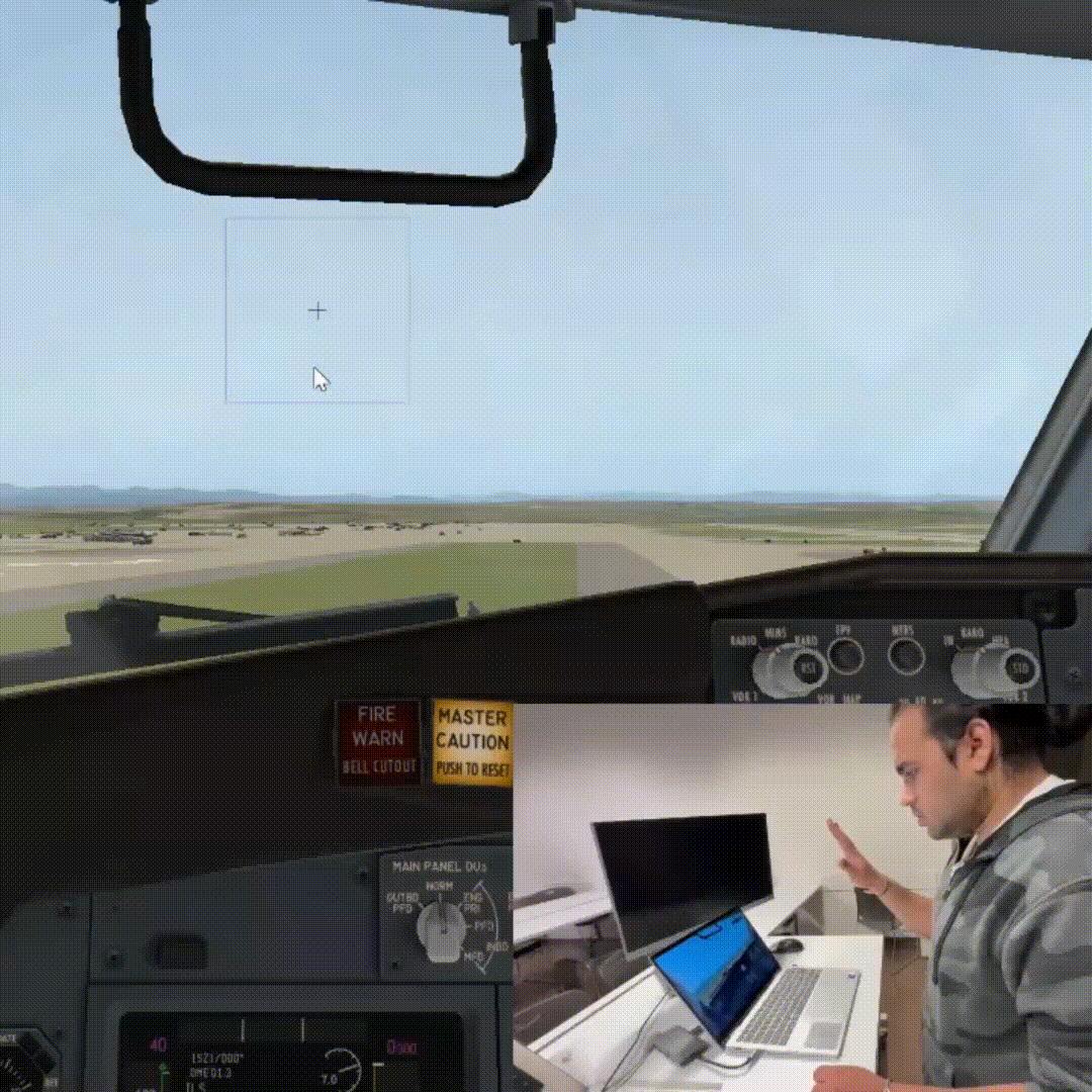
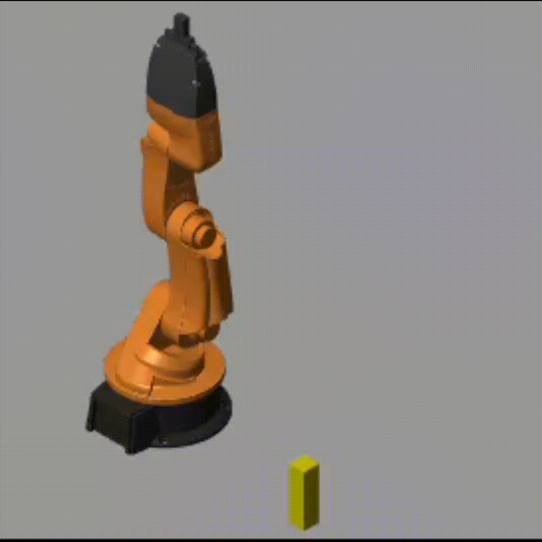
 Multi Robot Environment Exploration Using Swarm

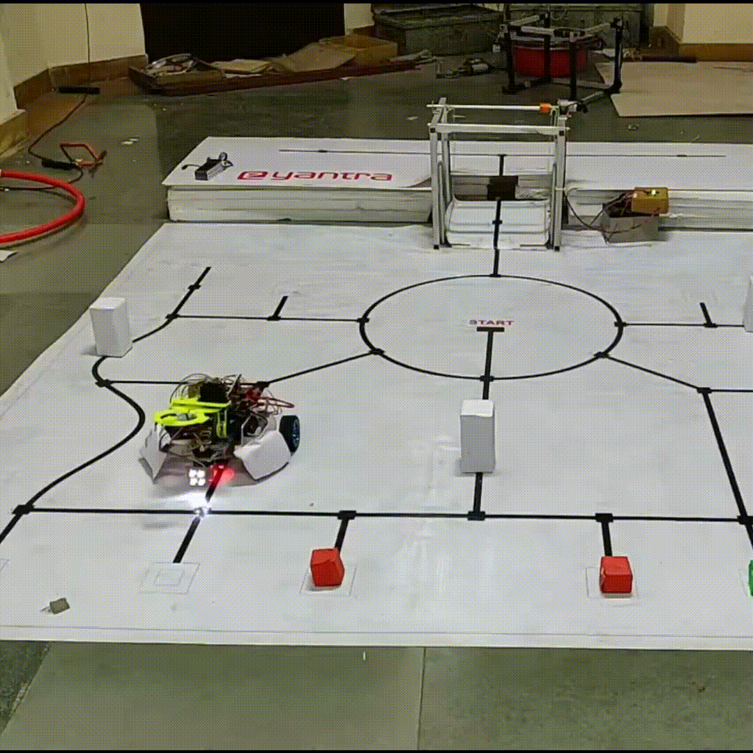
 Simultaneous Traffic Management System